The Mechanics of Settling into DC

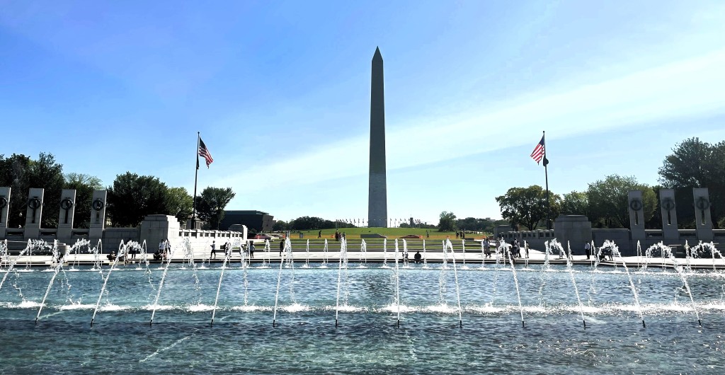
The Washington Monument from the fountain at the WWII Memorial

This post is long overdue. One could even say it has become OBE or Overcome By Events in State Department parlance. And yet I cannot quite shake the thought of putting pen to paper in an attempt to explain at least some of the processes we went through to unexpectedly curtail from an overseas tour to Washington, D.C. To explain what is largely a bureaucratic logistical exercise based on policies and procedures laid out in the State Department’s Foreign Affairs Manual but can become exasperating and stressful.

Moving the Cats from Guinea In a Hurry. Traveling internationally with pets has never been without its challenges. {see here and here and here for example] On airplanes, my cats have traveled cargo, excess baggage, and in-cabin, but also in the car when we drove across the U.S.-Mexican border to Ciudad Juarez. Transportation though is just one piece of the puzzle. The greater challenge is the @%$&! paperwork. It has to be done quickly and correctly in a short timeframe within the 3-7 days of travel. Before going to Guinea, Europe had instituted new rules that required all pets transiting the EU to meet the same requirements as if they were entering those countries. Though we needed an extra document endorsed by the United States Department of Agriculture / Animal and Plant Health Inspection Service (USDA-APHIS) for the plane change in Brussels, that was all given that our travel originated in the U.S. However, coming from Guinea, designated as a high-risk rabies country, one needs to have a titer test completed at least three months before travel. This would not be possible with my shortened departure timeline. Therefore, we could not fly to the U.S. through Europe. Instead, we took Ethiopian Airlines via Addis Ababa, which required us to fly nine hours in the opposite direction first, subjecting ourselves to 34 hours of travel time door to door. And the cats to 34 hours in their carriers. This included Ramen, our new diplo-kitty. It was stressful, as usual, but we managed, again.

Temporary Lodging. When transferring from an overseas posting to the U.S., a Foreign Service employee can utilize the Home Service Transfer Allowance or HSTA. It helps employees and their families to defray costs upon their return. It can cover lodging and some per diem for up to 60 days, with some possibilities to extend should household goods not yet arrive. This gave C and I a place to stay while I worked out my next steps.

Before our arrival, I had reached out to the same company that provides temporary lodging for government workers that had housed us the year before. I wanted us to be in the same apartment building we had lived in during my French training as I figured it would provide the easiest post-curtailment landing for my daughter. I did not know where we might be after the temporary lodging, but at least I could initially ensure she would be somewhere familiar and would start at the same elementary school she had been at before we went to Guinea. We move so frequently in the Foreign Service that living in a place more than once is a rarity. Not only were we able to get the same building, but when we checked in we found we had been assigned the exact same apartment we had vacated only 7 months before! Alas, the HSTA covers for only so long and I needed to find something more permanent.

Enrolling the Kiddo in School. Once we moved to Guinea, I thought I was done doing the school enrollment for a few years. Yet here we were suddenly back in northern Virginia. Luckily, I had been through the process once before when preparing for my Guinea assignment at the Foreign Service Institute in Arlington, and the schools in the area are very familiar with military and foreign service families moving in and out of the area. Thus the paperwork was pretty straightforward. One thing I could not do in advance though was the tuberculosis test, which is mandatory for enrollment. Though our Health Unit at the Embassy in Guinea could perform the test before departure, a test conducted while still in a country with a high incidence rate of TB will not be accepted.

It had taken longer to arrange the curtailment than expected – with bureaucracy it is always a waiting game – and thus our flight got us back to the U.S. after school had been in session for a week after winter break. To get my daughter C enrolled as quickly as possible, the TB test was a top priority. After landing, we went through immigration, gathered our belongings, got a taxi to the hotel, and then with my father’s car waiting at the hotel, we headed straight to a clinic to get that blood draw. C was then able to start school a few days into the following school week.

[Not so fun fact: Later screenings found that my daughter has latent TB, most likely as a result of our serving in Guinea. The majority of persons with latent TB in the U.S. acquired it overseas. She had to undergo long-term monitored treatment for it. Just one more gift from Guinea and an unexpected side-effect to our lifestyle.]

The Search for Permanent Housing. As a Foreign Service Officer, there is not really any housing that is permanent until one leaves the service, thus permanent housing refers to the lodging one lives in for the majority of the tour. Overseas that is one’s assigned housing. In the U.S., it is the housing the employee finds to live in.

With my 4 years of college living in dormitories, my 7 years living overseas with various study, work, and travel, and the combined 14 years overseas with the government, I have not had a whole lot of experience looking for housing. Though I had found a remote assignment and could have lived anywhere, like my condo in Florida, I felt that 1. professionally it would be better for me to be in DC, and 2. personally it would be better for my daughter to be where she had been before. When I took her to school the first day back, a friend of hers from the year before spotted her, ran toward her, and they hugged while spinning around as if they were in a movie. I knew then that staying in the DC area would be 1000% the right decision.

However, knowing you want to be in a certain area and finding housing there are two very different things. House hunting is exhausting. There is research into what one is looking for and then checking out what is actually available on the market. Then setting up viewings. Each place has positives and negatives and I imagine C and I living in each one. In many ways, it feels similar to the bidding process we go through to get our next assignments. Then one finds a place and has to apply and hope the other side likes you too.

Thankfully, I absolutely lucked out and the fourth place we look at is a gem and the owner likes us and picks us over the other potential renters. Then, because I have lived in furnished places for decades, I had to buy furniture. I had odds and ends such as a rocking chair, a decorative bench, two wood storage cabinets, a piano, and many wall hangings, but I did not own a sofa or a bed, end tables or a TV stand, dressers or desks, bookcases or lamps. I expect that seems odd for someone my age, but it must be fairly common among those with this kind of nomadic life, right? Even though I tried to buy economical pieces, all the expenses did add up. Still, there was a bit of fun to the shopping spree.

After all that, it is little wonder that I was not very keen to pull up stakes again only six to 12 months later and decided instead to remain in DC. Every move just comes with so many challenges; it never seems to get easier. It might indeed be getting harder the older I and my daughter become. Yet there are many positives to being here and C and I look forward to spending some more time here before we head back overseas. Now that the mechanics of settling in have given way to feelings of being settled.
2023 Winter Vacay: A Trip Down Memory Lane, Part 6, Death Valley to Disney

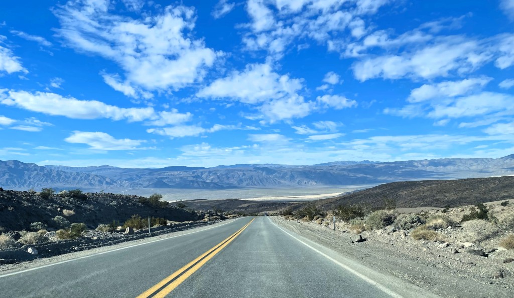
On the road in Death Valley heading toward Panamint Springs

On our second morning in Death Valley, we woke early in preparation for our departure from the park. I knew I would want more time in the park, so I reserved a hotel halfway back to Los Angeles instead of making the full drive that day. We would backtrack first, heading toward Death Valley Junction to visit Dante’s View.

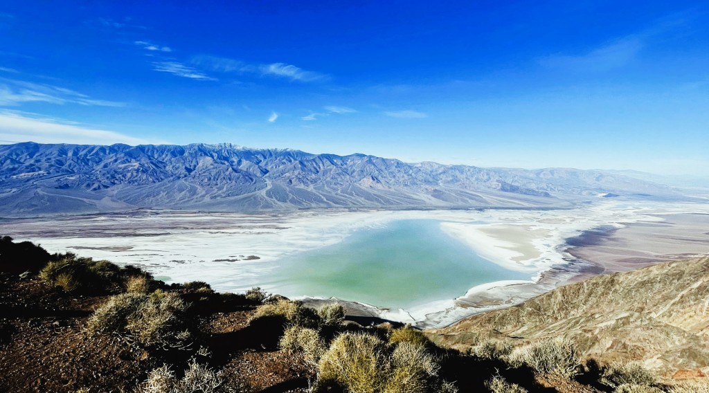
Dante’s View, considered one of the best views in Death Valley, sits atop Coffin Peak and 5,575 feet above Badwater Basin, and provides an amazing panoramic view of the southwest part of the park. It allows one to see both the lowest area of the park (Badwater) and the highest; the 11,049-foot Telescope Peak sits on the opposite mountain ridge. Apparently, the early visitors to the area from the borax companies found the view evoked visions of Dante’s nine circles of hell. I cannot imagine what they were thinking given the spectacular beauty of the scene laid before us. From the height we could really see the size of the temporary lake in the basin below. The view is somewhat famous as it appears briefly in the first Star Wars movie as Luke, Obi-Wan Kenobi, C3P0, and R2-D2 get their first view of Mos Eisley. There was certainly no water visible at that time.

Our view from Dante’s Peak

From Dante’s View we would drive about two hours over the majority of Route 190, past Panamint Springs, to the Father Crowley Overlook. It felt further and longer. Though the park was busy, there were times when we saw few other cars. The height of the mountains towering over the valley, the sheer expanse of the seemingly barren wilderness emphasized how very small we are. Maybe it was in part due to these feelings that when we at last arrived at the Overlook, we found it rather disappointing. The steep and narrow Rainbow Canyon, where fighter jets from the China Lake Naval Air Weapons Station or Edwards Airforce Base once practiced tricky maneuvers, is impressive, but I found the windy road, with its hairpin turns, far more interesting. If you find white-knuckle driving interesting. (I sort of do and don’t)

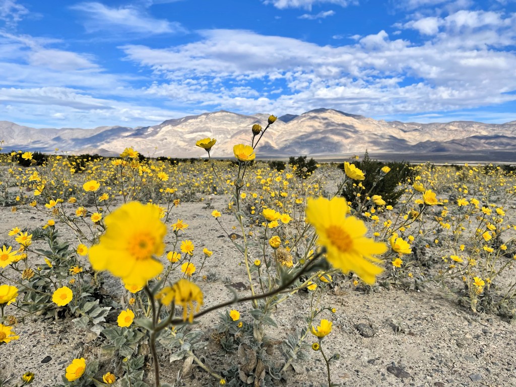
We turned around, and retook the twisty-turvy road, passing Panamint Springs again, before taking Panamint Valley Road out of the park. Suddenly, there was a valley full of golden flowers. It had been days since we had seen many natural colors other than the piercing blue sky and the varied tans and browns and muted reds of Death Valley. Although there is wildlife in the park, we had not seen any. Not a bighorn sheep or a lizard or a hare. We could not recall seeing living insects, just some dead in the salt flats of Badwater Basin. I do not remember any other flowers.

Wildflowers gone very wild near the Panamint Springs entrance to Death Valley

Before driving on to the big city lights in the direction of Los Angeles, I wanted to visit a ghost town. We had driven through several, but I had read about one in the area I thought we could stop at Baharat (or Ballarat)

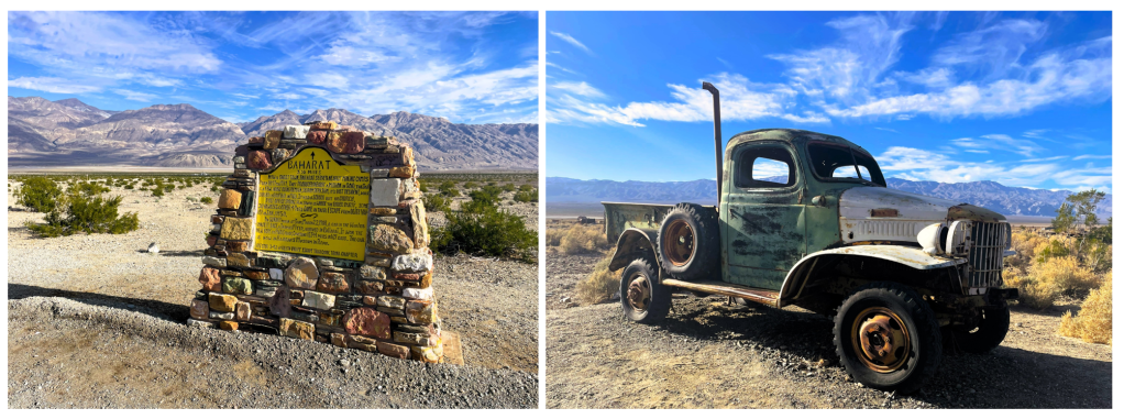
Founded in 1897, Baharat was a thriving borax mining supply town. At one point there were reportedly as many as 500 people in the town and a swinging lifestyle with a saloon and several hotels. By 1920, the town was abandoned. Stories abound online that Charles Manson and his gang visited in the 1960s, leaving behind some graffiti and an old truck.

I turned off the highway down a dirt track toward the mountains and Baharat. Ahead I noticed a lot of dust rising, and it took me about half a minute to realize what it was – because I could not quite believe it. A single-engine plane was taxiing straight for us! It was still maybe 200 feet ahead when it was up and away and flew over the car. What kind of ghost town has private planes stopping by? That turned out to be the most interesting bit of our short visit to the ghost town of Baharat. I had hoped for more atmospheric photos of old buildings, but instead, there was a group of young men on noisy ATVs returning from an outing, a dude in an old truck yakking on with a visitor while his old dog lay just by the tires of his idling truck, and in front of the old fashioned trading post advertising “Shooting Range, Guns N Bombs! 200 yards” the proprietress was regaling a couple with some stories. Baharat or Ballarat did not seem like our kind of place. I got back in the car and we left.

The Baharat (not Ballarat!) sign post and supposedly Manson’s old truck

From Baharat, we had only an hour’s drive to our stop for the day in Ridgecrest, California. The road rose first into the Argus mountain range and then slipped into the Searles Valley. I thought the drive from Baharat into the mountains was nice, but once into the valley, the scenery was less so. We drove through a few dusty towns like Trona, that are functioning, populated towns with a gas station, schools, and a library, but still had the air of a ghost town. The area was dominated by a large mineral lake operation. As we approached Ridgecrest, much of the area to the right of the road was fenced off as it was part of the China Lake Naval Air Weapons Station, the navy’s largest installation that covers an area larger than the state of Rhode Island. We stayed just the one night in Ridgecrest. We ate Little Caesar’s pizza and chilled out in the room.

The next day we drove to Disneyland in Anaheim. Although the return to increasingly larger towns and cities was gradual over several hours, the arrival back in the U.S.’ second largest city after spending days in desolate wilderness areas was a little shock to the system. C and I checked into the same hotel within walking distance of Disneyland that we stayed at in 2016. Then I left 4-year-old C in the room for just 5 minutes while I went to the first floor to get something. I told her to stay in the room and to only leave if it were an emergency. Unfortunately for us, while I was downstairs the Disneyland fireworks show occurred and C thought they were the signal of an emergency; I returned to find her running up and down the hall screaming… I made her recreate her hallway escapade for a video.

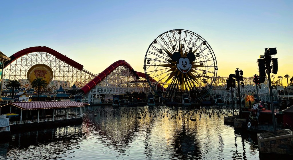
The Disney California Adventure Park opened in 2001

Disneyland was a big part of our 1984 family trip to California. What I remember is waiting in really long lines while sweating in the heat, being really scared on Space Mountain, and loving every minute of the Haunted Mansion. For my 9th birthday, I had a slumber party and as we settled down in sleeping bags in the living room we listened to my 45 RPM record of the Disney Haunted Mansion story.

The Disneyland of today is far more like the Disneyland of 1984 than Universal Studios. Many of the rides you can enjoy today are not only the same ones we waited in long lines for in 1984, but they were also part of the original 1955 park like Autopia, the Jungle Cruise, the Mad Tea Party, and Dumbo.

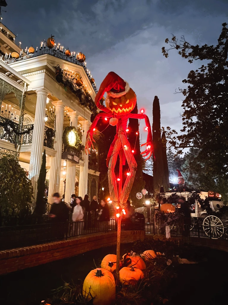
Creepy Christmas decor at the Haunted Mansion – one of my favorite Disney rides

C and I spent the first day at Disneyland and the second at California Adventure. It was our first time at the latter park. We loved California Adventure! The Incredicoaster was our absolute favorite ride – we got on it three times! – and it might have knocked the Loch Ness Monster in Busch Gardens Williamsburg off the top of my favorite coasters list. It was a great way to top off our amazing winter vacation.

Our trip was not all a recreation of the 1984 family trip. I remember parts of the trip, but so much is forgotten. My siblings, who are younger than I, remember even less. My sister C remembered playing cards on the train, barren landscape through which the train journeyed, and feeling like royalty eating in the train dining car. My sister A most remembered the Chicago Museum of Science and Industry, visiting Sea World in California (which I completely forgot about!), and the jolting of the automatic transmission rental car when our mom slammed on what she kept thinking was the clutch. My Aunt L passed away over ten years ago. My mom is currently in the hospital and unable to tell me what she remembers.

Of course, one cannot ever truly recreate the past and that was not my intention. Yet here I am, all these years later, and that 1984 travel adventure had made such an impression on me. This trip sure did shake loose some old memories and gave my daughter and me some new ones.

2023 Winter Vacay: A Trip Down Memory Lane, Part 5, Mojave and Death Valley

When I planned out our trip, I had a strong desire to drive through the Mojave National Preserve. It would be quicker to drive using larger roads such as CA-247 to Barstow and then Interstate-15, but I was not necessarily looking for the fastest route. That way would not take me through the Preserve. Then again, I did not wish to be long delayed and there was a risk that driving through the Preserve we could be held up for as long as an hour by railway siding operations at the Kelso Depot. I opted to take the chance.

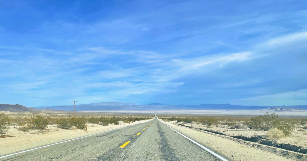
Road through the wilderness on Amboy Road

We left Yucca Valley early as there was a long drive ahead to Death Valley National Park. Soon after leaving Twentynine Palms, it was as if civilization disappeared (well, except we were on a nicely paved road). There was desert, scrubs, hills, and sky. There was little else until we hit the junction of Amboy Road and I-40, and the teeny, tiny town of Amboy.

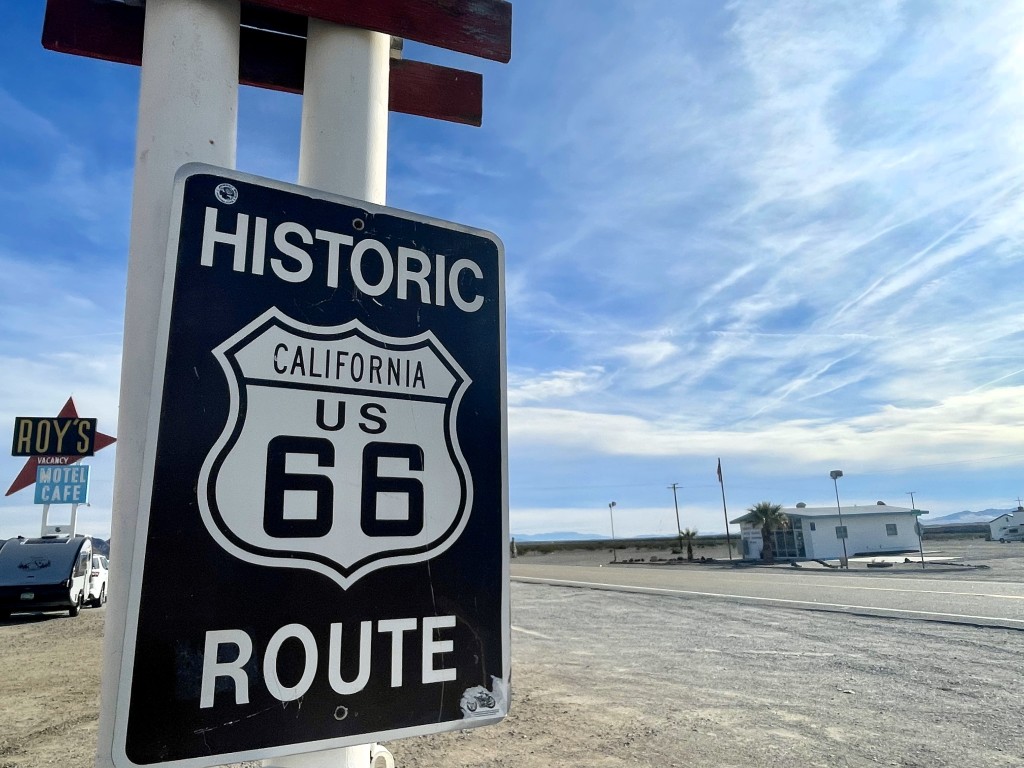
Amboy historic sign with a view of the post office building and Roy’s

A historic 1850 railway station settlement and later popular stopover on the historic Route 66 highway, Amboy is now just a shadow of its former self. It still boasts the old post office building, though services appear permanently closed, and Roy’s Motel and Cafe (and service station) dating back to 1936. Online information says these businesses are run by the four people who still call Amboy home, though when I asked the guy behind the counter if he lived in town, he gave me a good long suspicious look, asked me if I were a journalist or something, then told me, no, he does not live there but he drives in from about an hour away. I liked the nostalgic symbols of the 1950s travel heyday–the diner, the roadside motel signage, and the Route 66 sign–but I did not wish to linger; the place felt trapped in time. Most of the other towns that once existed in the area have been long deserted.

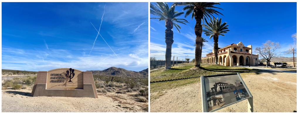
We drove on taking Kelbaker Road through another wilderness area and into the Mojave National Preserve. For a long while the preserve looked little different from the other stark landscapes thus far that day. I know there was much more diversity in the terrain off the main road, but as our time was limited, I had to make do with the drive-through. Once we crossed over the railroad tracks at Kelso, then safe from the potential cargo train delays, I took the opportunity to make a quick stop.

The southern entrance to the Mojave National Preserve and a stop at the historic Kelso Depot

The Los Angeles & Salt Lake Railroad built the Mission/Spanish Colonial Revival Kelso Depot in 1924, replacing the earlier building from 1905. The once thriving railroad worker town had long ago fallen into disrepair although there are still some workers living on the other side of the tracks and the National Park Service is preparing the building to house a visitor center. That day I met a National Park ranger and an intern with brochures, pins, and stickers on a table in front of the building; they were happy to answer questions. Again, I could not linger because I still had a long way to drive and also C refused to get out of the car to even read one information plaque. So, I got back in the car and continued north.

C stands in the desert alongside CA-127 as we await the green light to move past the road construction

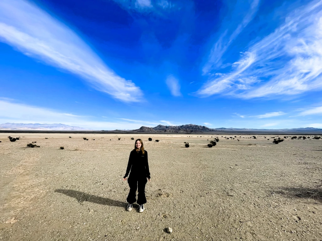
It was another 40 minutes through the desolate Mojave desert to the town of Baker and then north again on CA Road 127. About 30 minutes north of Baker we were stopped by road construction. There was already a line of several cars and motorhomes. I wandered up to the lone construction worker holding the stop sign and asked how long the wait would be. He said we needed to wait for the “escort car” and it could be about an hour. Big sigh. There was nothing to be done about it though. There was no telling how long it would be for that “escort car” to arrive as looking ahead I could see no road construction at all. I used the port-a-potty (thank goodness they had one as I had been swigging down the water) and moseyed back to the car. Other travelers were wandering off into the desert alongside the road. Some were already quite far from the road. No one expected this to be a short stop. I alternated small talk with the guy on the motorcycle behind us and hanging with C in the car or on the roadside. It was about 45 minutes in total before the escort vehicle leading the group of cars from the far side of the construction came through.

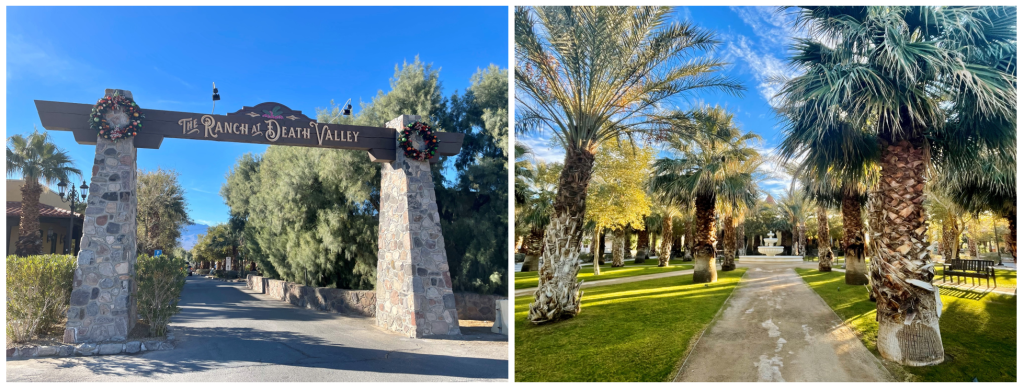
The Ranch at Death Valley seemed an almost impossible oasis surrounded by an unforgiving otherworld.

We were now quite far behind schedule. C fell asleep in the car. My eyes glazed over the scenery as we drove on, and I took little in. Despite the occasional breathtaking view, the pretty oasis town of Shoshone, and the rather bizarre Death Valley Junction, reported to have a population of “less than four people” and a boarded-up building with an “opera house” sign, the view was mostly the same bland tan sand stretching for miles. From Death Valley Junction we turned west toward Death Valley and within 30 minutes we were pulling into the oasis that surrounds the resort complex of the Ranch at Death Valley, our accommodation for the next two nights. With a park the size of Death Valley, the largest in the contiguous United States, I knew we would want to stay inside rather than outside.

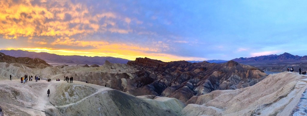
The stunning sunset at Zabriskie Point

As the drive had taken longer than expected, we had only so much daylight left. We checked into the hotel quickly and then drove back to Zabriskie Point. We arrived just around 3:45 PM, luckily scored a parking spot immediately, and sped-walked up the paved walkway to the viewing area. Spread out ahead of us lay the undulating convolutions of sentiment carved after millions of years. Breathtaking.

We had an hour to wait for sunset so we walked down to a dusty plain below. Perhaps the flattened area and dust left after years of borax mining in the area? We goofed off a bit and then climbed back up to watch an absolutely stupendous sunset.

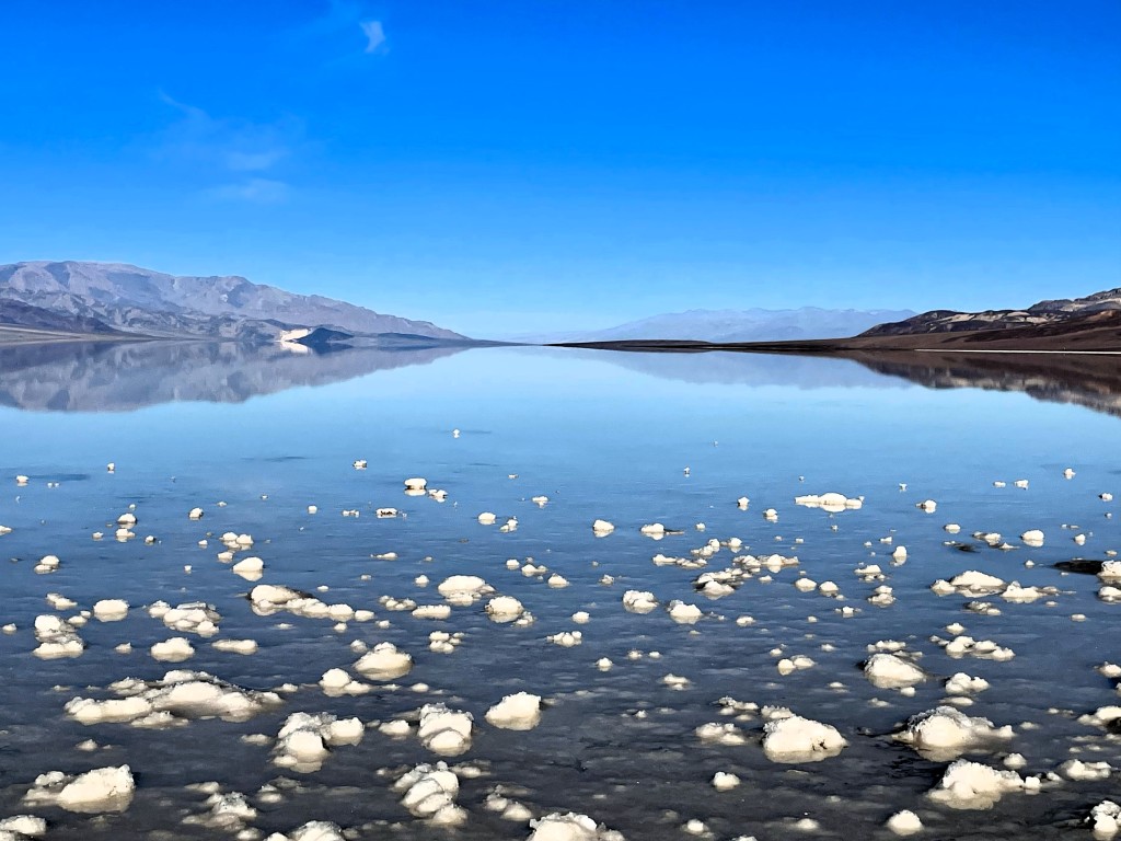
In the morning, we made our way to Badwater Basin – the driest place in the U.S. and at 282 feet below sea level, also the lowest point in North America. At the time though, Badwater Basin was actually not dry as a small lake had formed after heavy rains the previous summer and some of that water yet remained. I had looked forward to photographs of the geometric salt polygons, but instead, we found piles of salt sticking up out of a glassy, shallow lake, like lumps of sugar in a giant cup of tea.

As we drove back from Badwater towards the Ranch, we stopped at the Devil’s Golf Course, an expansive plain of jagged salt crystals, and the Artist’s Palette. At the latter, we parked far from the site and walked over a few hills to get to the view of the swath of colored volcanic deposits on a hillside. Honestly? The palette was smaller than expected and lacking in variety; it was mostly a chalky mint color with a small spray of pale pink against the predominantly golden dirt. Still, it was fun to get there – especially after climbing up and over a few hills to then see a parking lot just below the palette…

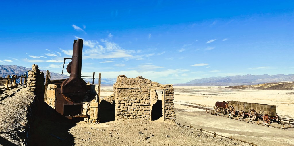
The ruins of the Harmony Borax Works at Furnace Creek, Death Valley

Following lunch back at the Ranch, we drove only a short way to the site of the Harmony Borax Works, listed on the National Register of Historic Places. The 1880s to the early 1900s marked the heyday of borax mining in Death Valley. Harmony was the mining operation that opened the valley to large-scale borax mining and was famous for its use of 20-mule teams that hauled the borax across the valley to the railroad 170 miles away in Mojave, California, though it operated only five years from 1883-1888.

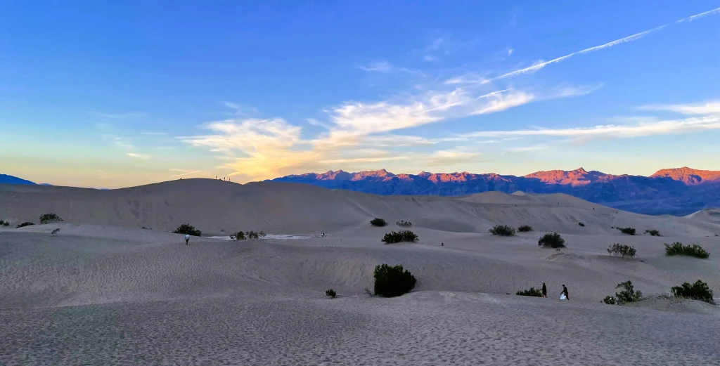
I then drove us 30 minutes to the Mesquite Flat Sand Dunes. As we had for the whole trip, we were racing the early winter sunset. Arriving at 3:30 PM, we would have an hour to crawl around the dunes before we would lose the light. Though large areas of sand dunes are not plentiful in Death Valley and the Mesquite Flat Sand Dunes are not the only ones, they are both lovely and very accessible, sitting just off the park’s main road.

The sun sets on the Mesquite Flat Sand Dunes

C and I climbed up and down the dunes, our feet sinking deep into the soft sand. We were having fun running hand and hand down the dunes until C smacked me in the face with the shoes she held in her hand and swung wildly as she ran. I opted to lope down the dunes beyond arm’s reach from her after that and to video her cinematic rolls and crawls on hands and feet. We watched an foolish driver in the distance with their car hopelessly stuck in the sand (an alerted ranger had to call in a team to get them out) and another foolish guy flying his drone above the dunes, expressly against park rules. But mostly there seemed a lot of happy people sitting or strolling on the dunes. Here we all were, experiencing the stark beauty of one of the most inhospitable places on Earth.

After the sun slipped below the horizon we headed back to the car and drove back to the Ranch. Though we had reservations in the fancy dining room there, we canceled them. After a day of exploring and hiking, we were up for a quiet night before we would depart the park the next day.

2023 Winter Vacay: A Trip Down Memory Lane, Part 4, Joshua Tree

On Christmas morning, C and I woke not to stuffed stockings or piles of presents beneath a tree (we had done that the Sunday before we started our trip), but to a travel day. Today, we would completely depart from the itinerary of my 1984 family trip to Los Angeles. We were driving to Joshua Tree National Park.

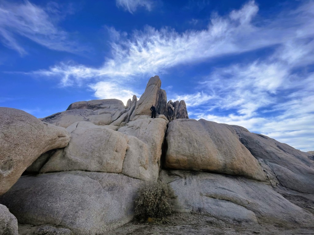
C prepares to dance atop the rocks

Among C and my favorite things to do (besides seeing Broadway musicals, visiting aquariums, enjoying amusement parks, and eating at Hard Rock Cafes) is visiting National Parks. A big part of deciding on southern California for our winter holiday was the chance to visit some of the parks I have long wanted to. I wondered why my mother and Aunt L had not made Joshua Tree, just a 2.5-hour drive from Los Angeles, part of our 1984 vacation. Though they were not particularly outdoorsy, the bigger issue was that Joshua Tree did not exist as a national park in the 80s. President Franklin D. Roosevelt established Joshua Tree as a National Monument in 1936, but it did not become a National Park until 1994.

Sign at the West Entrance station to the park

C and I packed up, had breakfast, and called an Uber to take us to Los Angeles International Airport, where I had a rental car waiting. As it was Christmas, I fully expected another Chinese-American Uber driver, but instead we had an Algerian American transplant from the mid-west with a love for Italian pop music. As we cruised easily through the largely empty streets, I recognized the songs but could not place them. When I asked the driver, he told me it was Eros Ramazzotti, and I was transported back to the summer of 2000 when I backpacked through Europe and first heard these songs. This trip was giving me more travel flashbacks than I had anticipated.

Getting to the airport went quickly enough, but there was a long line at the car rental office. It took an hour to get through it, so we were on the road later than I had hoped. Still, the traffic, even on Los Angeles’ notorious freeways, remained light and soon enough we were beyond the city limits and heading into the desert.

We arrived in Yucca Valley, California, population 22,000, one of the small cities that lie along the northern borders of the National Park. We checked into our motel and grabbed a bite to eat at the nearby Denny’s so that we might get at least a little time in the park. I was reminded again that travel in the winter restricted our sightseeing with the sun setting so early, around 4:45 PM. Yet, summertime visits to the desert mean scorching temperatures.

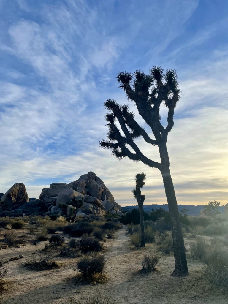
Some of the vibrant flora of Joshua Tree

The drive to the West Station entrance of Joshua Tree National Park is 25 miles from our hotel in Yucca Valley. The winding road took longer than expected and the line to enter the park was also unexpected. But the park is popular for night sky viewing and camping, and it would seem the Christmas holiday is an excellent time to do it. So, once I purchased our annual America the Beautiful park pass from the ranger, we only time for a 30-minute drive in and a few photos of the eponymous trees set against rock formations and a pinkening sky before it was time to turn around. It was a great introduction to the stark beauty of Joshua Tree. C very much wanted to get out and run around and made me promise to let her scamper over the rocks on our return.

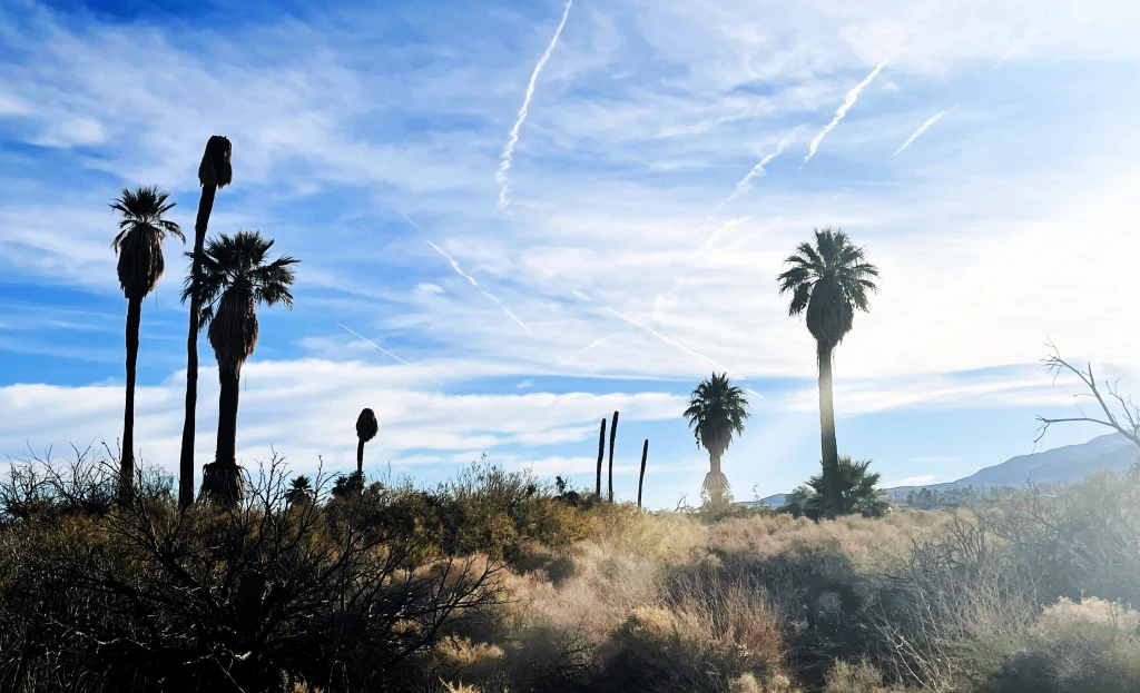
Bright sunshine over the grasses and palms of the Oasis of Mara

On our full day in Joshua Tree, we drove down the highway to Twentynine Palms to begin with the Oasis of Mara, north of the park’s north entrance. Unlike much of Joshua Tree, where the flora are primarily succulents, like the Joshua tree, the oasis has palms and grasses that survive with the underground springs. The indigenous Serrano people named the area “Mara” meaning “the place of little springs and much grass.” C and I enjoyed a little stroll around the oasis area.

Then we entered the park at the North Entrance. We turned off from the Park Boulevard and onto Pinto Basin Road. Soon after the turn off we came to our first grouping of large rocks at the Belle campground; C insisted we stop. She needed to climb! After a good long stop for rock scampering and photography, we drove on to the next stop at White Tank. The rock formations are impressive. These are actually not mere rocks, but massive granite boulders piled atop one another. Some more scampering on rocks occurred – with me joining in! – before driving on to the next site.

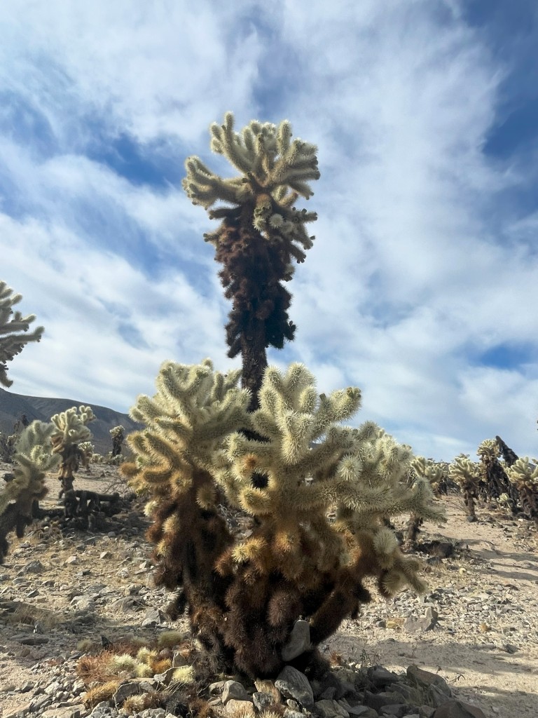
A cholla cactus stands out from the crowd

The Cholla Cactus Garden is an area just off the main road blanketed with some 10 acres of the cactus known as Teddybear cholla. These cacti certainly look cute and fuzzy but are anything but with extremely sharp barbs with a reputation to painfully latch on to passersby. There is a pedestrian trail, partially boarded, through these plants but one can get as close as one dares. That surprised me. Given the silly things that some people get up to in our national parks, visitors are still given quite a bit of leeway. After about a half hour there, C and I departed unscathed. We had already been in the park several hours and it was time for lunch. I had opted to drive out of the park into Twentynine Palms for lunch rather than to pack one. We grabbed lunch at a Tex-Mex place in town and then returned to the park.

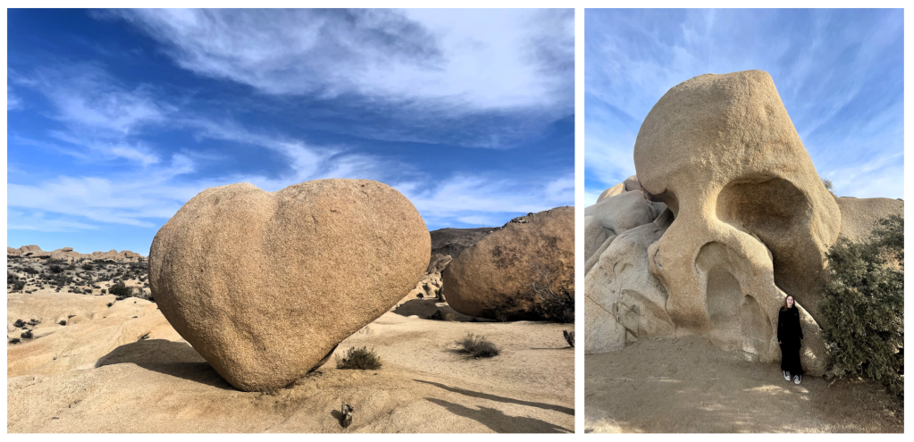
Our first stop was Jumbo Rocks. It is an apt description as the size of the rock formations and boulders were easily the biggest we had seen that day and spread out over a larger area. This campground also seemed more popular and the crowds of visitors were larger than we had run into in the boulder areas off Pinto Basin Road. We parked where we could and followed the parking lot to a trailhead into the boulders. I think we got off the Jumbo Rocks trail on to the Heart Rock and Arch Rock trails. Then C just wanted to climb over whatever she could in whatever direction took her fancy. There were points – like around Heart Rock – where we saw many other people, and others where we might see no one else for a five minutes or so. We completely lost track of time. The weather was beautiful, the temperatures warm but very comfortable, and the sky sapphire blue. It was just us climbing up and down and between rocks.

Heart Rock and Skull Rock in the Jumbo Rock boulder area

But I knew we had only such much time given the early winter sunset. We made our way back to the car and drove on a little ways to the Skull Rock area. There we did more climbing amongst the rocks, but we did not have time for the same carefree wanderings. I wanted us to get to Keys View for the sunset with a stop at Hidden Valley along the way.

Unfortunately, at Hidden Valley the parking lot was completely full. I drove through four times very slowly – and we were not alone in doing this – but a spot never opened. I gave up and drove towards Keys View but there too we ran into an issue, the road was closed off with a sign “Road opens just before sunset” and a ranger standing sentinel to make sure visitors obeyed. But it was not long til sunset. As I turned around and left the turn off, rangers were closing off more of the road, not opening it. We would not get to visit one of the park’s primary sunset locations. I turned back toward Hidden Valley hoping we might still have a chance to visit and lucked out with a parking space on my third time through the lot.

Sunset at Hidden Valley

I planned to find the Hall of Horrors, a slim chasm between two high rock walls. I had read about it before the trip and wanted photos of C standing with legs and arms spread touching both sides of the Hall. I failed though to note the coordinates of the Hall and we wandered about aimlessly for 20 minutes without finding it or even a clue as to where it might be. C was chomping at the bit to get some more boulder climbing in and begged me to give up our search. Disappointed, I did.

Yet as the sun set across the boulders, desert, scrubs, and Joshua trees at Hidden Valley, we were treated to a magnificent burst of orange as the blue deepened in twilight. Perhaps sundown at Keys View was great that day, I do not know, but it was definitely perfect at Hidden Valley.

We ate a simple dinner from the supermarket in the motel room that night as we relaxed from our day of climbing adventures. I would have liked another day at least in Joshua Tree, but the following day would be a travel day on to our next destination.